Wayfinding
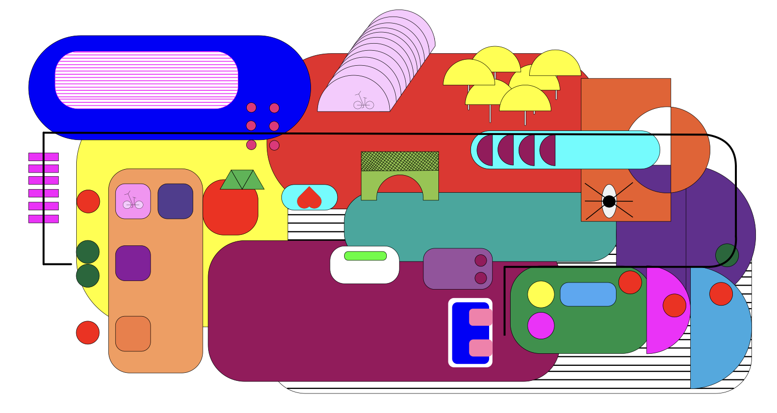
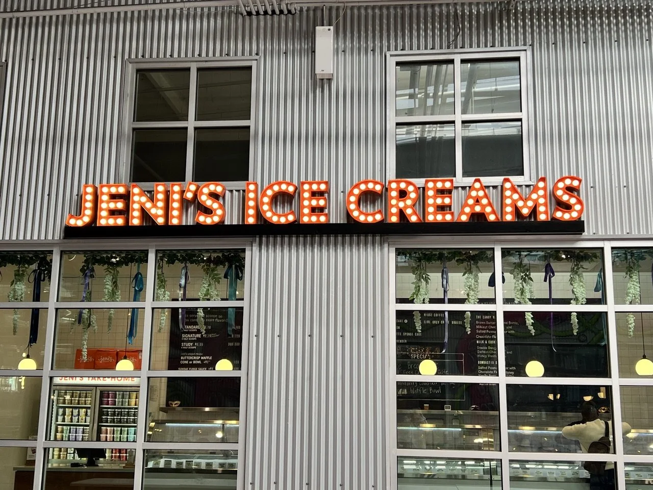
For this wayfinding assignment, I created an abstract map of the immediate area around my house that shows how to navigate many businesses along a walking/biking path called the Beltline. The location was determined by the one person I knew who would participate in this assignment, and the fact that I can motivate him to do anything as long as ice cream is involved.
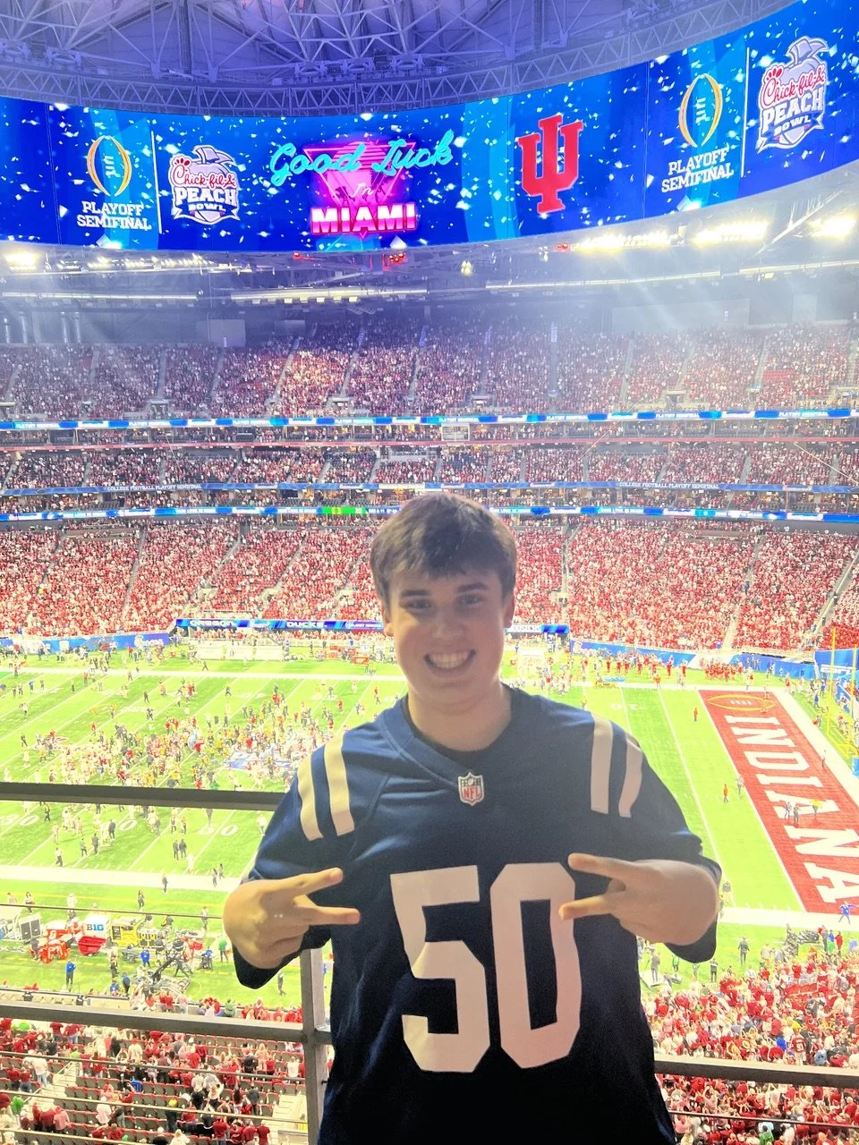
My volunteer was Jack, my 17-year-old son. Isn’t he handsome?
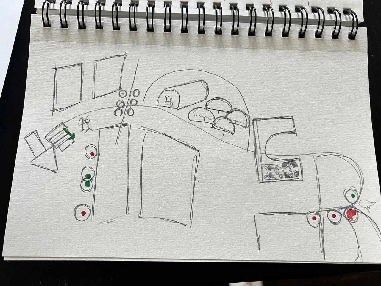
So, to prepare, I went out on foot and recorded a video of my walk to the secret location, making sure to pay attention to the details of various buildings. I came home and sketched out my path.
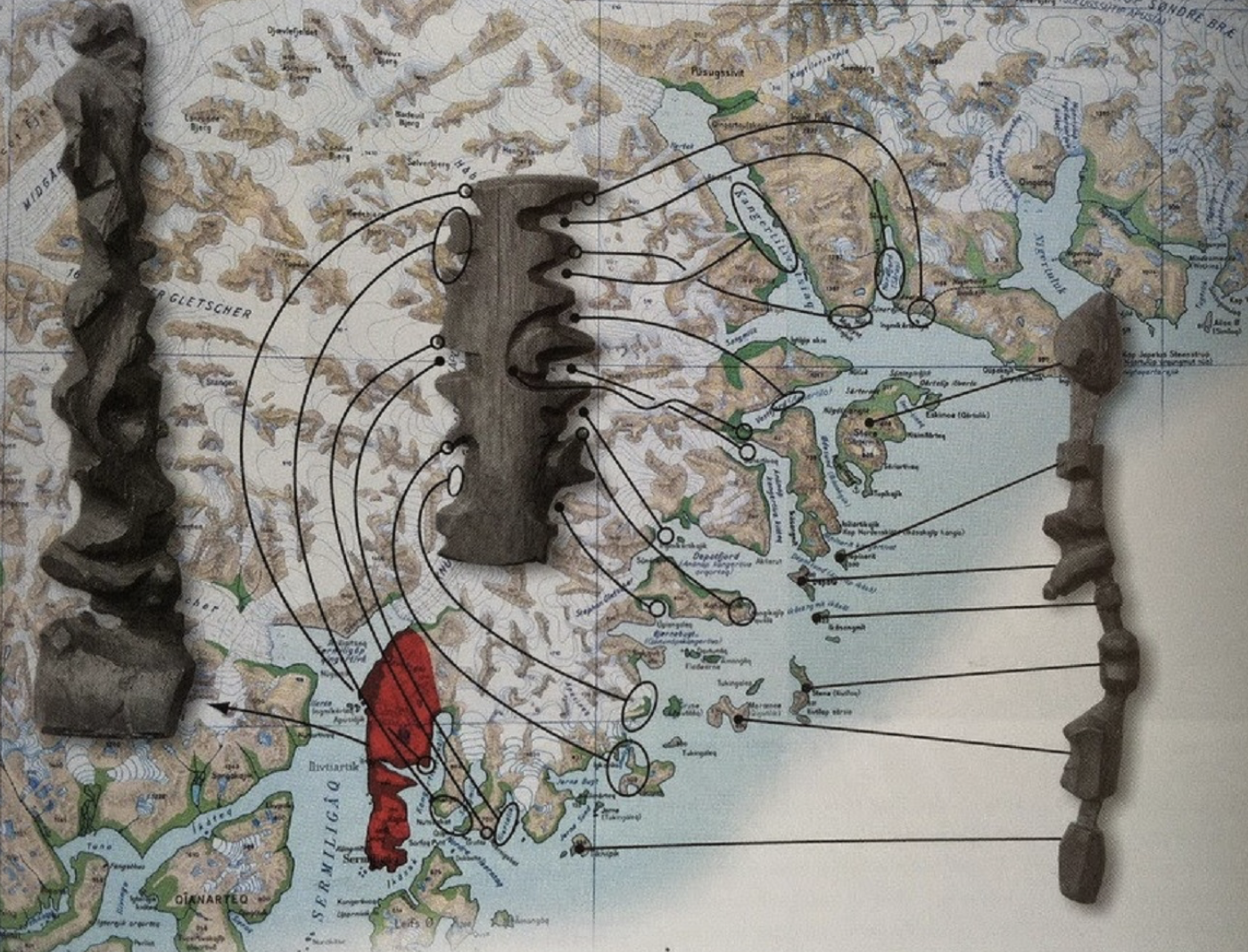
I was really interested in creating a 3D map out of foam. Any excuse to use a heated wire tool, but life got the best of me. I was hoping to make something similar to the Inuit driftwood example we discussed in class, where, when Jack arrived, he would hold the foam map up to the logo to see if it fit a cutout of the map itself. Ultimately, I sent my map via email so Jack could carry it on his phone while he scootered on his journey.
I was pretty confident that he would find the Jeni’s Ice Cream shop that I was sending him to, as he had biked on the Beltline many days in that same direction when he was in middle school. Jeni’s Ice Cream is approximately ¾ of a mile from the house.
However, the abstractness was a little too much for him. It seemed to be overwhelming with the colors, and he wasn’t sure what the shapes were supposed to represent. My introduction to the map was mostly questions:
“Is there anything on the map that looks like you’d be following a path?”
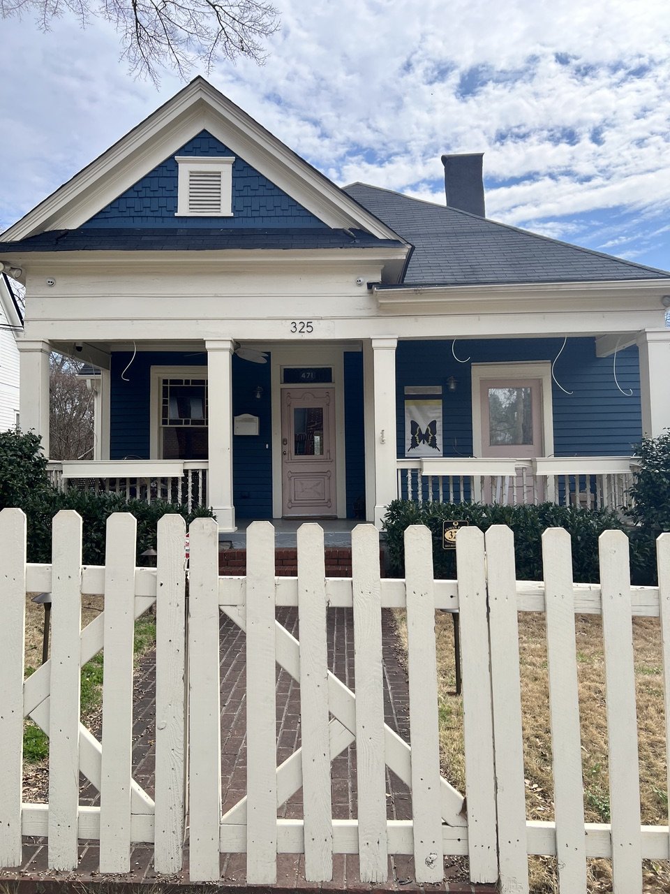
“Is there anything on the map that looks like it’s the starting point (hint: our house *Navy with 2 pink doors)?”
He seemed to understand those two points, hopping onto a scooter and going on his way. But then, within 2 minutes, I got a call. He wanted me on the phone the entire time. I did my best not to interfere, mostly repeating my one question:
“Is there anything on the map that looks familiar to what you’ve seen or know of on this path?”
In his defense, now that he’s in high school and driving, it’s been a while since he’s been on the path. I could tell he was beginning to understand the map a little more, as some of the shapes were appearing around him. But maybe he was a little too confident because he scooted right past the stairs he was supposed to go down into the shopping area. Once he recognized the error, he made a couple of wrong turns. At this point, we’re playing the hot and cold game.
But alas, after dragging his scooter down a set of stairs, he said,
“Oh, are you sending me to Jeni’s?”
We celebrated over the phone, and he ordered $15 worth of ice cream. Lol.
Jack’s feedback on his video was:
“It was fun to get out and use my brain to solve a difficult problem, but I didn’t like how hard it was. It wasn’t obvious what everything was.” (Whomp-whomp)
Here’s the map. What do you think?